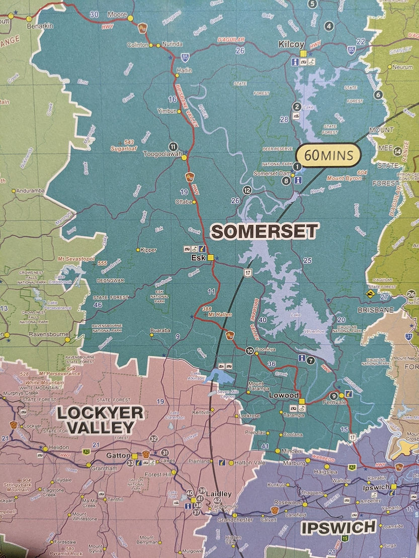
Today we did a reconnaissance drive to the three lakes/dams of Qld’s Somerset region:
Lake Atkinson – Lake Wivenhoe – Lake Somerset – via the township of Esk.
We wanted to get an idea of what these famous lakes had to offer so we could plan a more in depth itinerary for future excursions.
Laidley to Lake Atkinson (30km) via Glenore Grove and Lake Clarendon
Lake Atkinson is an ungated dam and is part of the Lower Lockyer irrigation system, feeding water to the many farmlands in the area. It is also a popular recreation destination for water-based activities. Unfortunately at the time of our visit the lake was only 27% full and only open to paddle craft 🛶
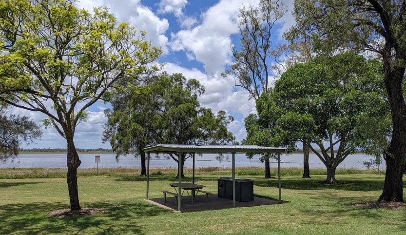
The Day Use Picnic Area however was very well maintained with plenty of bbq sheds, clean tables and benches, a large raised bird hide overlooking the lake and many mature shade trees 🌳
Sadly there were no birds to see due to the low water levels, but it was a pleasant stop for coffee and cake ☕🍰
Lake Atkinson to Lake Wivenhoe (25km) via Brisbane Valley Way
Stopped at Cormorant Bay Recreational Reserve for views over Lake Wivenhoe which is S E Queensland’s largest water storage, supplying Brisbane and greater Ipswich areas.
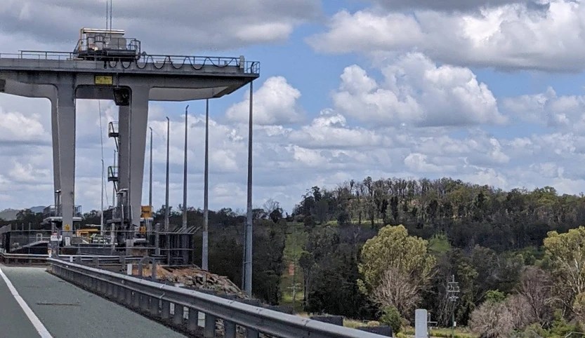
Built in 1984, it is a gated dam which allows for controlled water releases during times of heavy rain.
There were a lot more people at Cormorant Bay than at Lake Atkinson, with plenty of picnic tables and lovely views across the lake. There is a 16km trail network at Wivenhoe Hill, offering spectacular views of the lake. We’ll definitely attack a few of these next time, along with a visit to the Spillway for a paddle and picnic. Wivenhoe is currently 53% full.

Drove over the Dam wall, past the gantry and pulled up at the lookout for more lake views.
Wivenhoe Dam to O’Shea’s Crossing (48km) via Esk township.
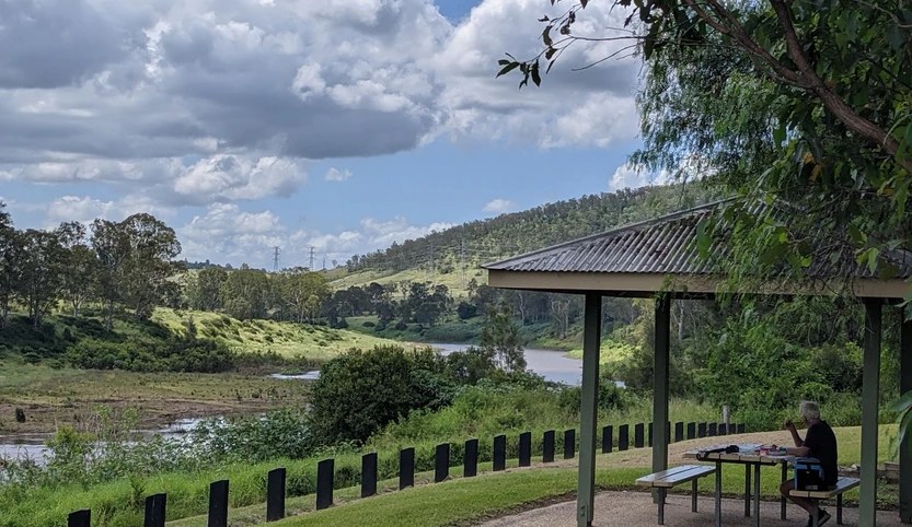
After driving through Esk (we’ll do a detailed stop there soon), we took a lunch stop at Oshea’s Crossing, a quiet little picnic area on the northern shores of Lake Wivenhoe.
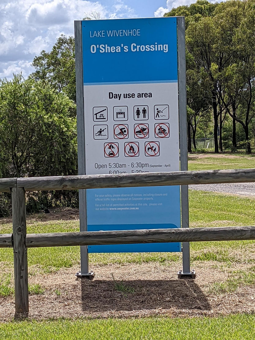
We were joined by friendly, cheeky magpies and enjoyed pretty creek views with cormorants sunbaking on rocky outcrops and a shady peppercorn tree over our picnic shed.
Refreshed and refuelled we continued on towards Somerset Dam via the cute little boaties’ haven of Somerset Village.

O’Shea’s Crossing to Lake Somerset (9km) via Esk Kilcoy Rd
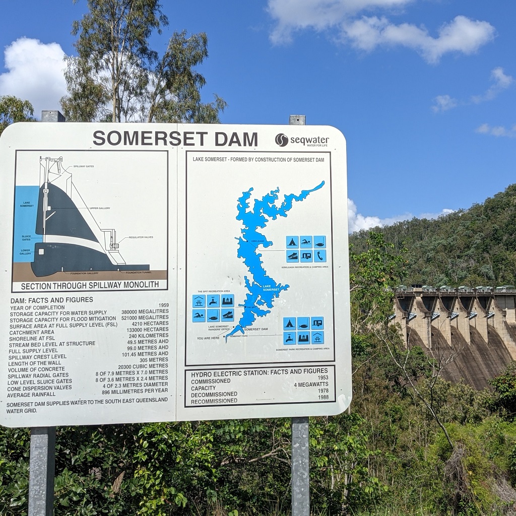
Our first glimpse of Lake Somerset was the imposing dam wall on our right.
Lake Somerset is a gated dam and one of the region’s oldest and largest water storages and a popular recreation destination. The dam’s construction was commenced in 1935, but was halted until 1948 due to WWII, and finally completed in 1959. Current capacity is almost 80%.

Once we took the first Lake Somerset turn off, we discovered why it is so popular.
The Spit was pumping with boats, jet skis, wake boarders, picnickers and campers who all seemed to be die hard water sport enthusiasts.
A beautiful, picturesque spot, with many campgrounds, boat ramps and picnic facilities but enough space to spread the day trippers out and keep everyone Covid safe.

Lake Somerset to Laidley (85km) via Fernvale, Lowood, Tarampa & Minden
We didn’t travel any further north along the lake, deciding to keep the rest for a more in depth visit later on, so after a look around we turned back and headed south down Wivenhoe Somerset Rd to Minden. We had the spectacular D’Aguilar Range on our left and enjoyed glimpses of Lake Wivenhoe on our right until we joined the Brisbane Valley Rd again.
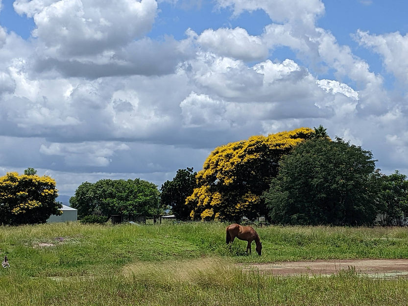
The route home took us through idyllic farmland and the towns of Fernvale, Lowood, Tarampa and Minden, then we jumped back on the Warrego Highway for the last leg home to Laidley.
Our Valley of the Lakes recon drive took approx 4 hours from start to finish.
We now have a better understanding of the area, the roads and the places we’d like to visit in more detail. Can’t wait to explore the cute little historic town of Esk and get more ‘up close and personal’ with what the Lakes themselves have to offer 💚

Leave a comment